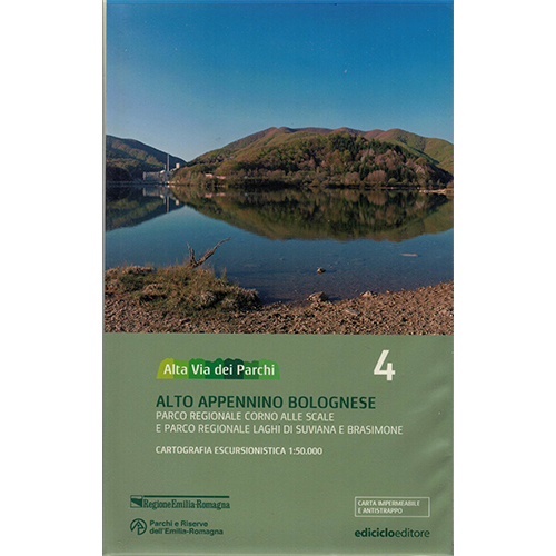
Alto appennino bolognese – 4
Parco regionale Corno alle Scale e Parco regionale laghi di Suviana e Brasimone
Alta via dei parchi
The Alta Via dei Parchi starts from Berceto, near the Cisa Pass, in the Province of Parma, and reaches the Verna cliff, jutting out over the Casentino to then reach the hermitage on Monte Carpegna, through two national parks, 5 regional and one interregional: an itinerary of 500 kilometers in 27 stages along the Apennines between Emilia-Romagna, Tuscany and the Marches. To complete the guide, maps of the paths on a scale of 1:50,000 have been created which cover the entire Apennine itinerary and the area of the concerned Parks; to produce these maps, the Cartographic Archive of the Emilia-Romagna Region has specially created a new updated cartographic base. They are printed on Polyart paper, waterproof, tearproof and completely 100% recyclable.
Edithor: Ediciclo
Map: 1:50.000
Language: Italian
Isbn: 9788865490723


Reviews
There are no reviews yet.