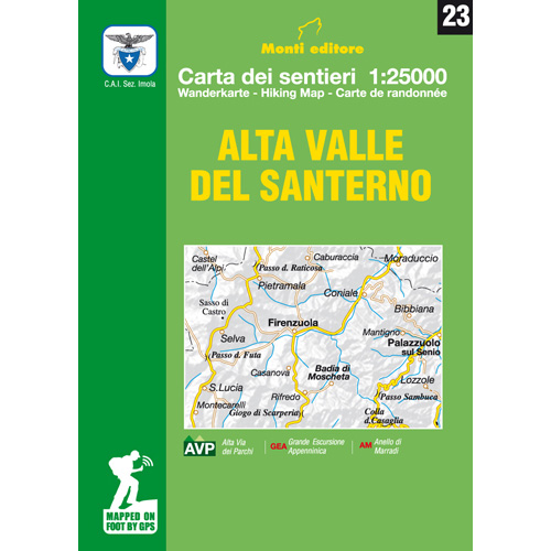
23 – Alta Valle del Santerno
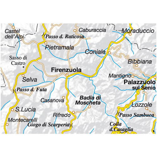
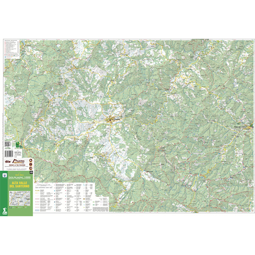
Territory dedicated to stone processing and the production of chestnuts. The varied environment between woods and pastures offers walkers wide views towards the center of the valley, from which Firenzuola emerges.
Map of trails for hiking and mountain biking.
The paths have been surveyed in the area with GPS satellite equipment.
Editions: Iga Monti
Hiking map
Scale: 1:25,000
Year: 2018
Italian language
Format: 70×100 cm
ISBN: 9788885502031




Reviews
There are no reviews yet.