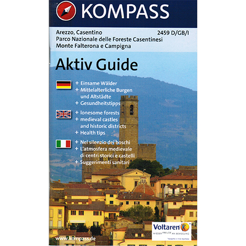
2459 – Arezzo – Casentino
Parco Nazionale delle Foreste Casentinesi – Monte Falterona – Campigna
Editions: Kompass
Hiking Map + Aktiv Guide
Scale 1:50.000
Year: 2013
Language: Italian, Deutsch, English
ISBN: 9783850266031
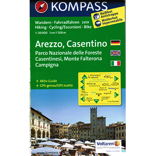
€9,99
1 in stock
✓ Spedizione gratuita per ordini superiori a € 200
✓ 14 giorni di reso gratuito su tutti gli ordini
Hai bisogno d'aiuto?? Clicca qui per contattarci
Editions: Kompass
Hiking Map + Aktiv Guide
Scale 1:50.000
Year: 2013
Language: Italian, Deutsch, English
ISBN: 9783850266031
Only logged in customers who have purchased this product may leave a review.


Reviews
There are no reviews yet.