
Alta Via 2 della Valle d’Aosta
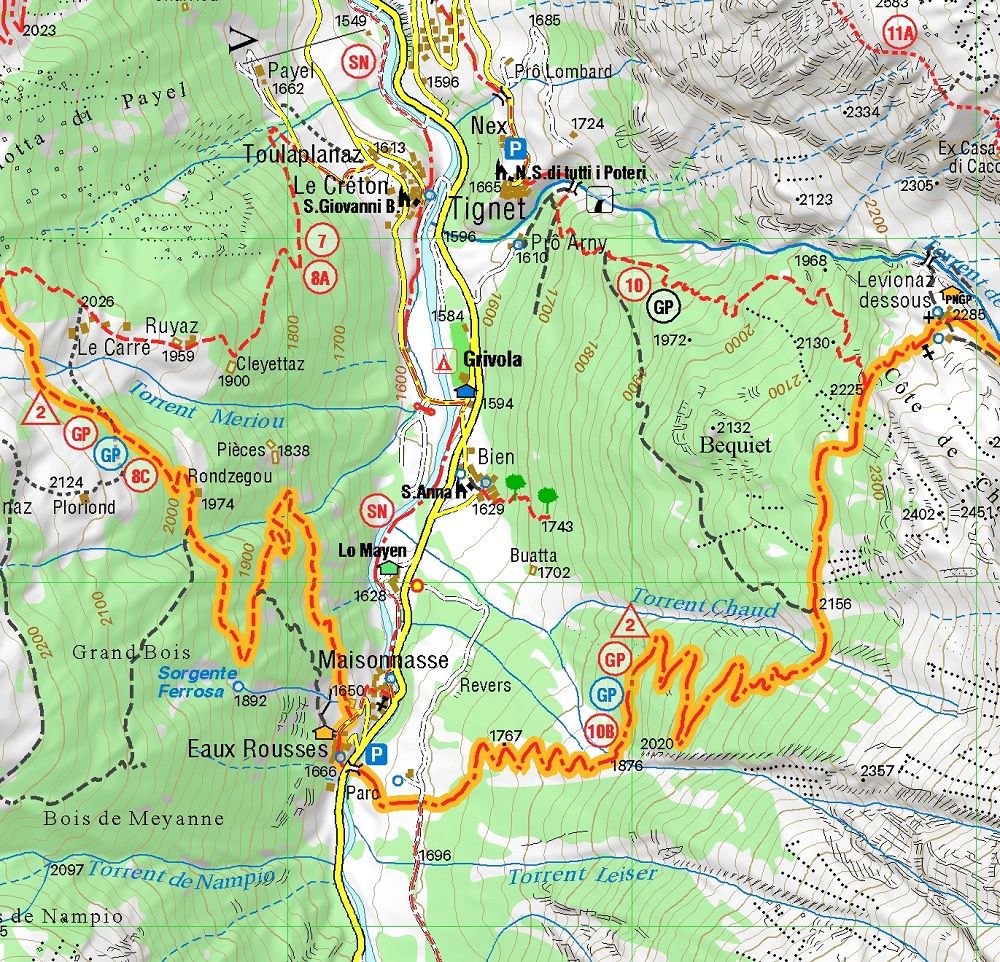
The Alta Via n.2 of the Aosta Valley or Alta Via Naturalistica is a trek in 12 stages that develops in the southern part of the region, through the Gran Paradiso National Park, the Valgrisenche and the La Thuile Valley with the group of the Ruitor, up to Val Veny.
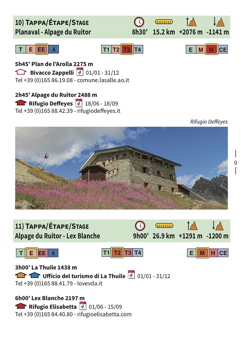
The Alta Via n.2 of the Aosta Valley or Alta Via Naturalistica is a splendid trek at high altitude along the southern side of the region which entirely crosses the Gran Paradiso National Park, the Valgrisenche and the La Thuile Valley with the group of the Ruitor. It is presented here in 12 stages starting from Donnas and arriving in Courmayeur, of which the first 3 days are in the little-known and wild Champorcher Valley, which is covered entirely. The environment is simply exceptional and overnight stays are in excellent accommodation facilities, mostly refuges above 2000 meters above sea level. The guide, a photographic notebook with technical data and all the contact details of the stopping places present on the route, is accompanied by paper printed on an ecological, waterproof and tear-proof support, with a UTM WGS84 kilometer grid, also available for purchase in an electronic version for Android, iOS and Windows.
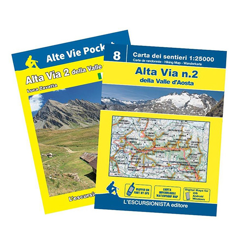
Editions: L’Escursionista
Author: Luca Zavatta
Guide: 32 pages + Map: 1:25.000
Format: 12 x 17 cm – 70 x 100 cm
Language: Italian – English – French – German
Year: 2023
ISBN: 9791280163370

Reviews
There are no reviews yet.