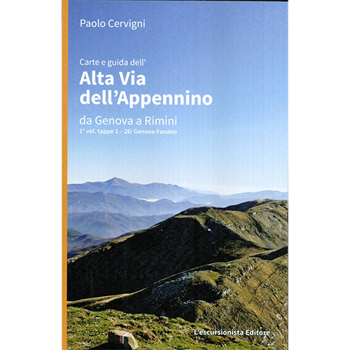
Carte e guida dell’Alta Via dell’Appennino da Genova a Rimini
vol. 1 – tappe 1-26 Genova-Fanano
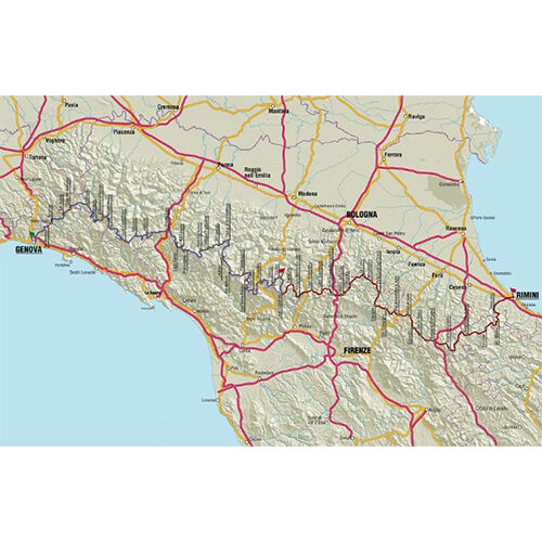
Vol.1 from Genoa to Fanano. A new Alta Via that connects the Tyrrhenian Sea to the Adriatic, with 800 kilometers of paths that cross the entire northern Apennines, not only on the high ridge, but touch the most intact places, the most important emergencies, the highest peaks and the highest villages of the Tuscan-Emilian-Ligurian mountains. Completely alternative to GEA, Alta Via dei Parchi, Sentiero00 and Alta Via dei Monti Liguri, it takes place entirely on easy, marked paths, with short stages and overnight stays in managed structures, characteristics that make it suitable for most hikers. The guide, divided into two volumes to make them more pocket-sized, contains all the maps on a 1:50,000 scale sufficient, together with the very detailed description, to easily complete the entire route. All the places served by public transport are also indicated in order to be able to make the route even with a mini-trekking of 2 to 7 days as an alternative to the 50 daily stages.
Editions: The L’Escursionista
Author: Paolo Cervigni
Guide: 192 pages
Format: 13 x 21 cm
Language: Italian
Year: 2013
ISBN: 9788898520008


Reviews
There are no reviews yet.