 Edizioni Monte Meru - Club Alpino Italiano Sezione di Gubbio - Map 1:25.000
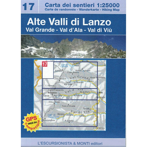

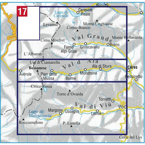
Alte Valli di Lanzo – 17
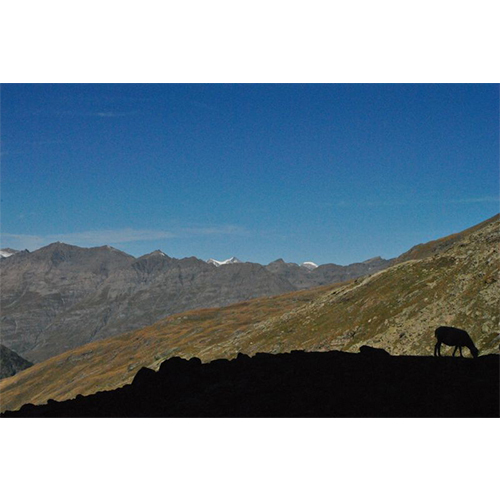
Val Grande – Val d’Ala – Val di Viù
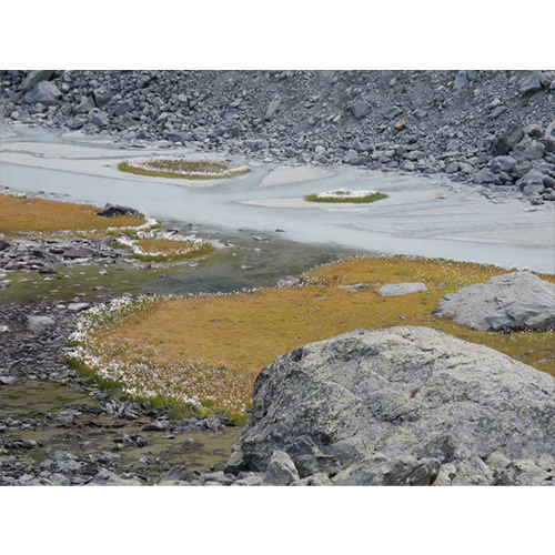
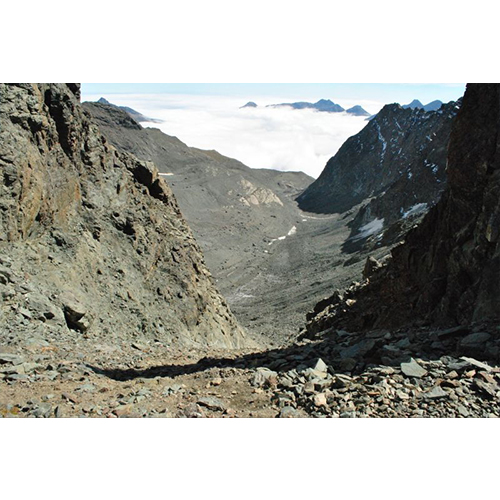
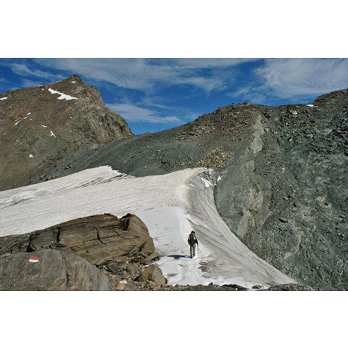
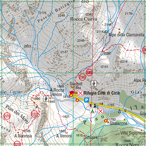
With the series “the most beautiful excursions” a new series of practical and handy booklets is inaugurated which will accompany the 1:25,000 scale maps of the Piedmont area. The map is printed front and back on a recyclable, waterproof and tear-proof support and all the paths reported (signposted and without signs) have been recorded with GPS satellite equipment. Brings the entire route of the Tour della Bessanese back to the Italian-French slopes. The cartographic drawing, rocks, gravel and glaciers was created on recent aerial photographs and includes, with homogeneous graphics, also the territory beyond the border. In a handy 2-pocket case, for the same purchase price as the card alone, you will also find the color guide with the description of 9 excursions selected among the most beautiful in the area, with historical-cultural insights and color illustrations, in Italian, French and English language.
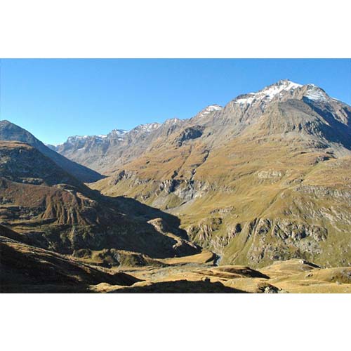
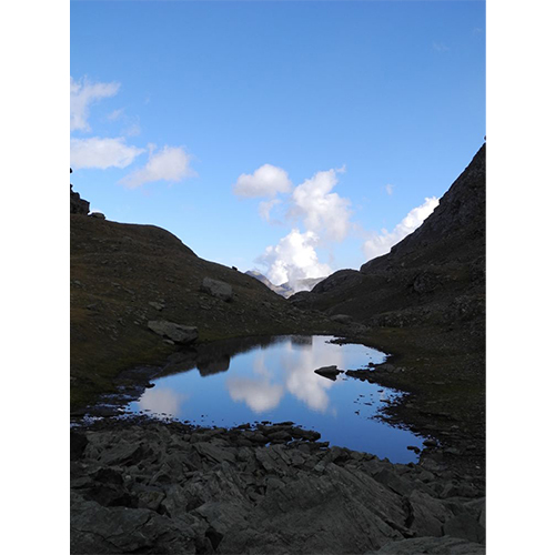
1 Laghi d’Ovarda
2 Colle Autaret
3 Rifugio Cibrario e Lago della Rossa
4 Anello del Passo delle Mangioire
5 Colle Chalanson Superiore
6 Passo dell’Ometto
7 L’anello dei laghi Unghiasse
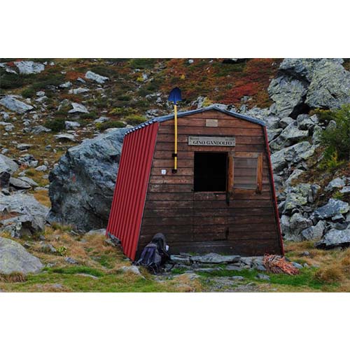
8 Bivacco Ferreri e Rifugio Daviso
9 Passo delle Lose
Editions: L’Escursionista
Authors: Basil Black – Marco Blatto
Guide: 32 pages + Map 1:25.000
Format: 12 x 17 cm – 70 x 100 cm
Language: Italian – English – French – German
Year: 2013
ISBN: 9788898520060


Reviews
There are no reviews yet.