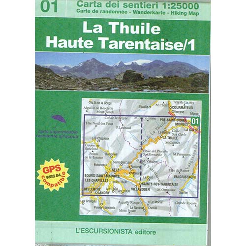

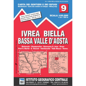
La Thuile Haute Tarentaise/1
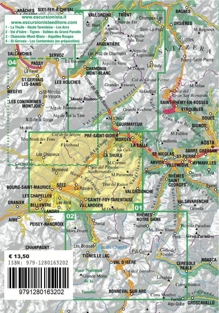
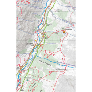
Excursion map n°01 of the Italy/France cross-border series. It covers the area of La Thuile (Valle d’Aosta) and Bourg-Saint-Maurice, Montvalezan, Sainte Foy-Tarentaise, Séez, Villaroger with the districts of La Rosière and Les Arcs (Haute Tarentaise), with routes on foot and mountain bikes signposted. Printed front and back on ecological, waterproof, tear-proof paper and all the marked paths (signposted and without signs) have been recorded with GPS satellite equipment. The cartographic drawing, rocks, gravel and glaciers, also covers the territory beyond the border with homogeneous graphics. Packaged in a plastic bag with the guide to the “most beautiful excursions”, 8 itineraries selected from among the most beautiful in the area, with historical-cultural insights and illustrations, a new series of practical and handy booklets that will accompany the 1:25,000 scale maps of the border area between Italy and France.
1 Bec Rouge e Lac du Retour
2 Col de Montséti
3 I villaggi della bassa Val d’Isère
4 Da Montvalezan a La Rosière
5 I villaggi di Bourg-St-Maurice
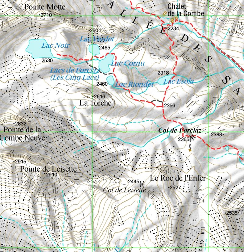
6 I Cinque Laghi
7 Da Séez al Colle del Piccolo San Bernardo
8 Mont Miravidi
Editions: L’Escursionista
Author: Luca Zavatta
Guide: 80 pages + Map 1:25.000
Format: 12 x 21 cm – 70 x 100 cm
Language: Italian – English – French – German
Year: 2022
ISBN: 9791280163202


Reviews
There are no reviews yet.