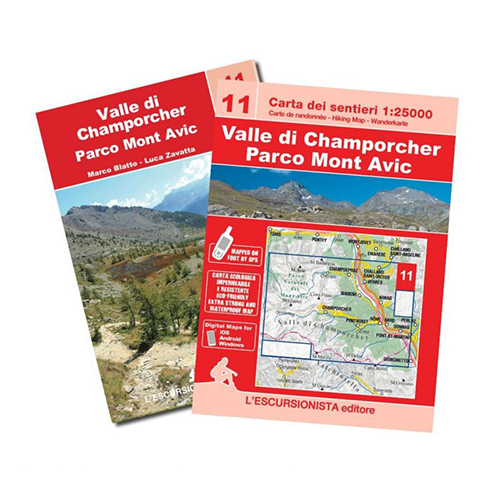
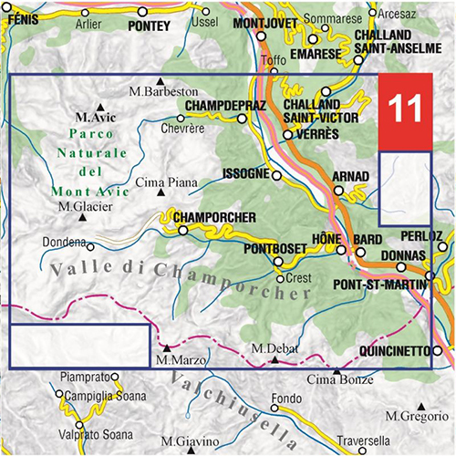
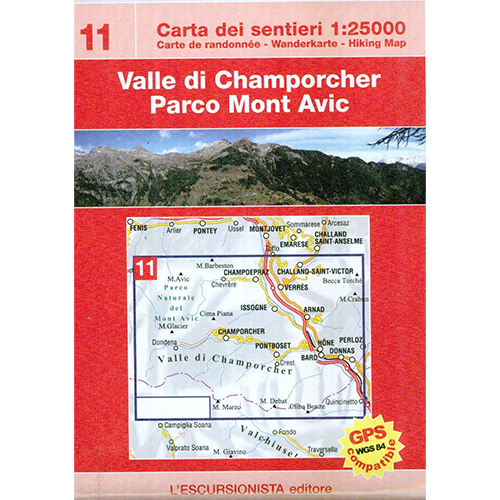
Valle di Champorcher – Parco Mont Avic – 11
Map of the paths of the Champorcher Valley and the Mont Avic Park with WGS84 kilometric grid. Paths surveyed in the area with GPS satellite equipment. Paper printed on waterproof and tearproof support.
64-page guide with 3 multi-day treks inside (The great ring of the Mont Avic Natural Park, Between Lower Aosta Valley and Champorcher Valley, The Mont Avic Natural Park) and list of paths with trail signs and times of travel
Editions: L’Escursionista
Authore: Luca Zavatta
Guide: 64 pages + Map: 1:25.000
Format: 11 x 16 cm – 70 x 100 cm
Language: Italian – English – French – German
Year: 2022
ISBN: 9788898520725


Reviews
There are no reviews yet.